The Aislabie Walk

Mist over Hackfall

Valley near Mickley

The Fountain Hackfall

Rustic Temple Hackfall

The Banqueting House Hackfall

Beech Tree Hackfall

View to Masham Limehouse Hill Hackfall

Studley Royal Temple of Piety

Studley Deer Park

Pond near to Mickley

Braithwaite Hall

Azerley Tower

Weir at Studley Royal
The Route
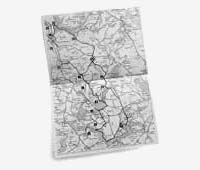
The long route is 17.5 miles and starts at the Lakeside Car Park in Studley Royal Deer Park which is pay and display at £8 per car in 2017, but free to National Trust members. Charges apply every day. Shorter routes of 7.5 miles and 11.5 miles may be taken and it is possible to start the walk at other points.
Read More!
Guide Book
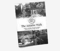
Mark Reid (author of 'The Inn Way') has written an informative guide with a detailed and accurate description of the route of the Aislabie Walk together with an OS map. The guide is available free to download and copies can be picked up at pubs along the way.
Read More!
Terrain
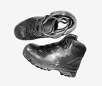
The terrain consists of undulating paths and bridleways through woodland along river banks and through fields. The paths are occasionally muddy and you will have to cross many stiles along the way. There are some short stretches of road walking to link up the paths.
Read More!
Getting There

There is a limited bus service that goes close to the official start point but the most practical option is to travel by car. If you are coming to Studley by car make sure that you use the Lakeside Car Park as the main Fountains Abbey car park is locked fairly early in the day.