The Aislabie Walk
The terrain you will face on the walk
This is not a particularly challenging walk from a terrain point of view. The majority of the route is relatively flat or undulating and is on footpaths, bridleways and tracks across fields and through woodland. There are some steeper sections and some of the paths are muddy during and after rainfall.
If you take the clockwise route as described in the guide there is a relatively steep decent into Hackfall which, of course, is much less strenuous than the climb out the other way if you decide to go anti-clockwise. There are some sections of the walk through Hackfall where there are steep drops close to the path. Nothing particularly dangerous but if you have a problem with heights you may need to prepare yourself.
Where it is unavoidable the route uses small unclassified country roads to join the paths and bridleways. These roads are generally quiet and what traffic there is generally travels at relatively low speeds. There are short sections that use faster roads and particular care is needed to keep safe on these sections. In particular the section of Kirkby Road near Azerley is fast and there is no real verge for you to shelter on. Unfortunately there is no alternative public route available here.
There are many stiles in fences and walls to negotiate and some places where there are steps for example where the path from Kirkby Malzeard comes out onto the Road at the South end of Grewelthorpe.
It is recommended that you wear hiking boots or trail shoes with good treads to complete the route.
The Aislabie Walk website is supported by Caravanwise the campervan insurance specialist.
Short Route 7.5 miles allow 3 hours
Medium Route 11.5 miles allow 6 hours
Long Route 17.5 miles allow 8 to 9 hours
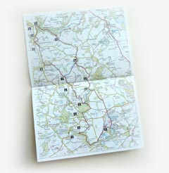
Map OS Explorer Sheet 298 'Nidderdale'


